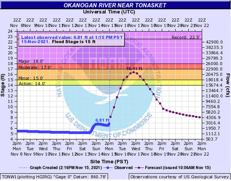
Source: National Weather Service Okanogan River gauge at Tonasket on Monday, Nov. 15 was 6.81 feet. The river was predicted to be at 16.41 feet minor flood stage by mid-day Wednesday, Nov. 17.
OKANOGAN – Okanogan County Emergency Management put out an alert Monday warning of potential flooding as water comes downriver from Canada
The “National Weather Service is advising of potential flooding for the Okanogan and Similkameen rivers,” reads the alert. “As of today, Nov.15, 2021 the Okanogan River level near Tonasket is at 6.81 feet, it is predicted to rise rapidly to 16.41 feet minor flood stage by mid-day this Wednesday the 17th. The Similkameen is currently at 10.38 feet and is predicted to crest at 14.33 feet, by Tuesday afternoon.”
The alert went on to say that persons should be aware of their surroundings when near the rivers and that any persons living near the rivers should prepare for potential flooding.
In comparison to previous years the Okanogan River level in May 2018 was 19.7 feet and May 2020 was 15.8 feet.
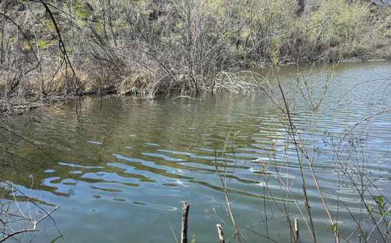
These are predicted levels and could rise higher or may not reach their predicted level. The water flow is coming down out of Canada. While there was little rain on Monday, there was a lot of rain over the weekend. Monday was marked by warm, blustery winds.
River gauges may be viewed on the Okanogan County Emergency Management Website (www.okanogancounty.org/government/emergency_management/index.php) on the County Wide Advisory Map.
North of the border in BC, our sister newspaper, the Penticton Western News, was reporting that rescue crews would spend last Tuesday searching for people who may have been trapped in debris from mudslides on a British Columbia highway, after helicopters worked to ferry out 275 people from a slide site on Highway 7.
The mudslides rolled over the highway during an “atmospheric river” that brought a deluge of rain and flooding to the southwest and central parts of the province.
The torrential rain closed highways, overwhelmed rivers and creeks and caused the wastewater treatment plant in Merritt to break down, forcing the evacuation of the city of 7,000.
More than 20 emergency centers had been activated to help house stranded travellers.
Multiple roadways have been closed because of flooding or landslides, including sections of Highway 1A, Highway 3, Highway 11, Highway 12 and Highway 91.
In a statement posted on Twitter, Canadian Prime Minister Justin Trudeau said the federal government is ready to help British Columbians affected by flooding and extreme weather, urging people to stay safe.
There have been no reports of any fatalities.