Submitted by Jen Weddle
OHA Co-Executive Director
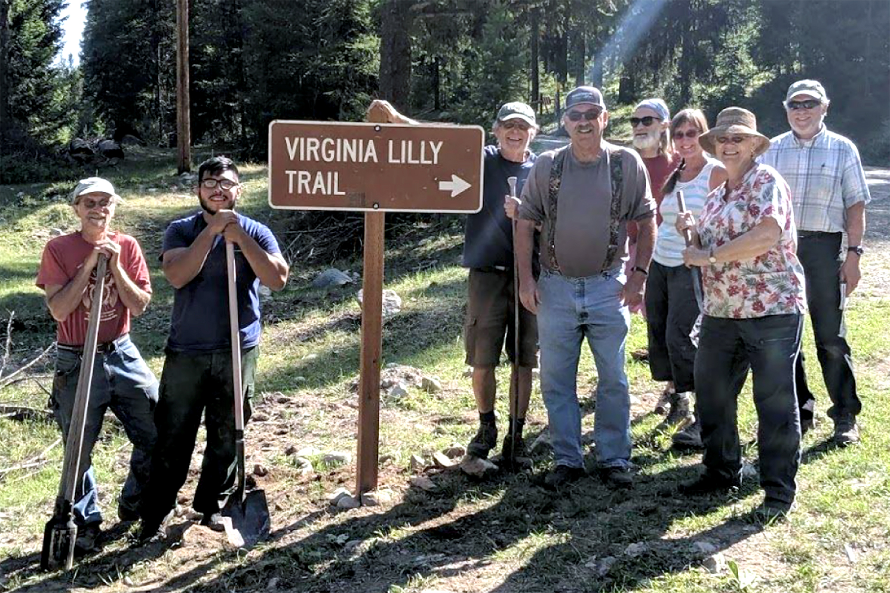
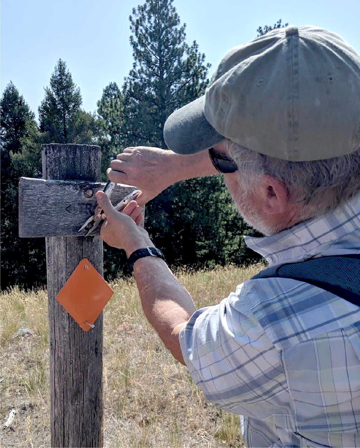
TONASKET – A group of volunteers with the Okanogan Highlands Alliance, in collaboration with the US Forest Service, worked to re-open the Virginia Lilly Trail near Bonaparte Lake earlier this month.

U.S. Forest Service employees and Okanogan Highlands Alliance volunteers place a sign on Bonaparte Lake Road.
They replaced the road signs pointing to the trailhead, added route markers and cleared fallen logs and brush. The trail is ready for anyone looking for an adventurous day hike with spectacular 360° views from the top.
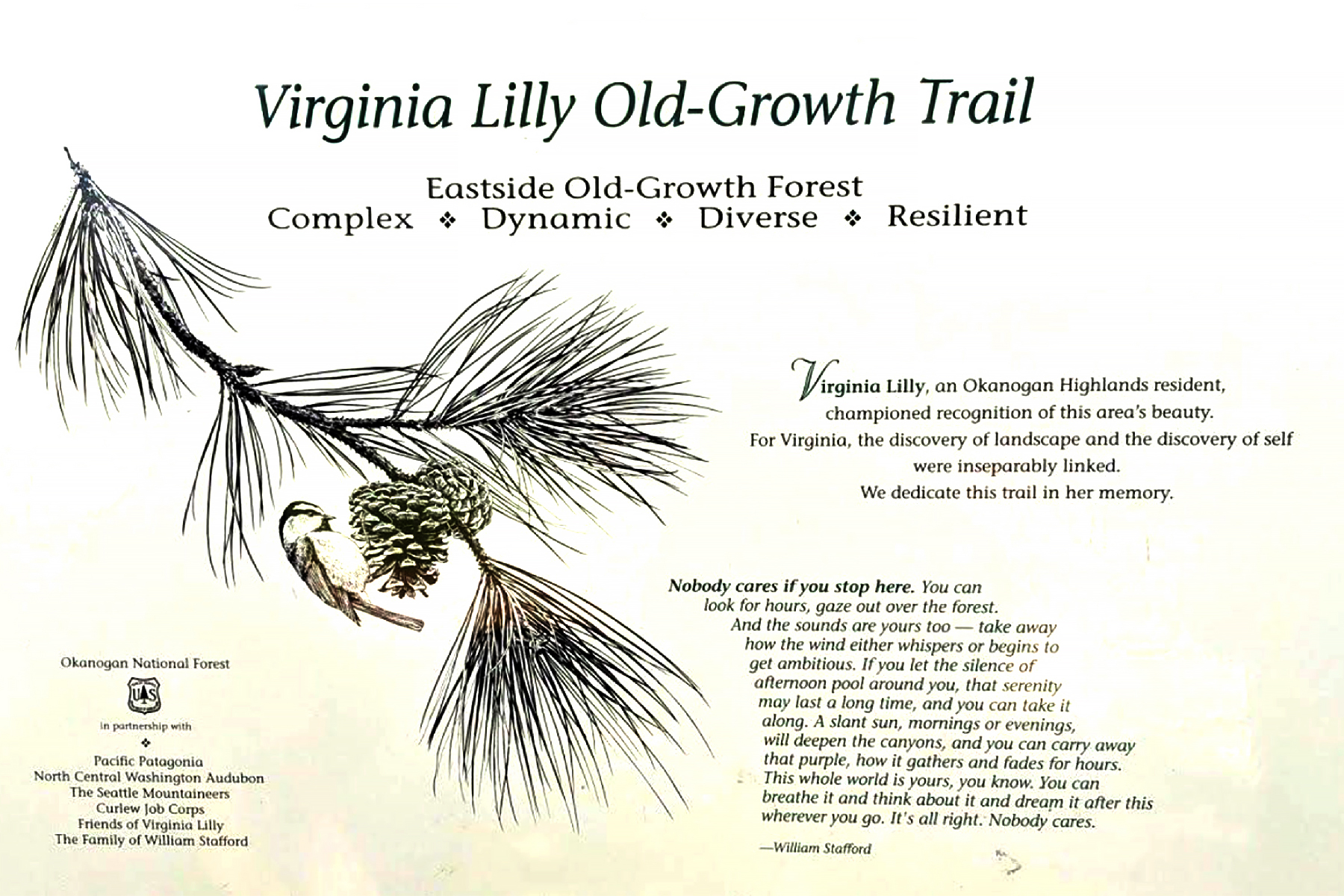
The diversity of landscapes in the Okanogan is showcased by the Virginia Lilly Trail, a four-mile hiking trail that has been recently re-opened in the Okanogan-Wenatchee National Forest. The trail is dedicated to the memory of Virginia Lilly, an Okanogan Highlands resident who loved and advocated for the beauty of the landscape. The trail was built in the 1990’s through a partnership of the USDA Forest Service, environmental organizations and local community groups. In recent years, the trail has fallen into disrepair, but it has not been forgotten by local residents.
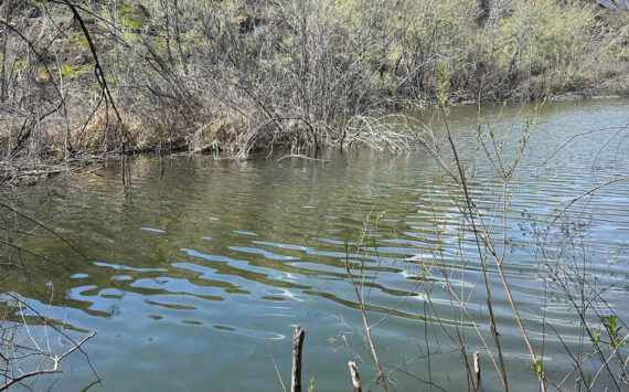
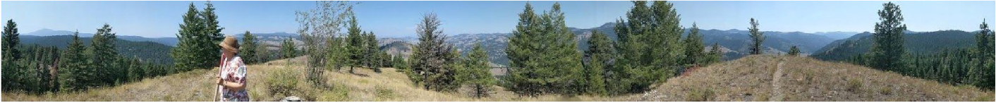
To get there, take Highway 20, heading east out of Tonasket to the Bonaparte Lake turnoff. Just past Bonaparte Lake, take a right onto FS Road 3240. Follow the road for 6 miles (stay left at the fork), and you will see a sign pointing to the parking lot on the left. The trail begins 200 yards up the hill from the parking lot. Although you can take the trail backward (starting in the parking lot), there are no route markers, and cow trails may lead you astray. On the trail you will travel through old growth forests, alongside wetlands, and across sunny hillsides. According to Jen Weddle, OHA co-director, “You get a bird’s eye view of Toroda Creek, over to Bonaparte Mountain and up into Canada. The views are just spectacular.” Make sure to bring plenty of water, snacks, and sunscreen. The trail is a wonderful place to spend a day!
OHA is a non-profit organization that works to educate and involve the public in watershed issues, including the environmental threats of large-scale mining. For more information (or to volunteer to work on trails!) go to okanoganhighlands.org.

Bill Kresge, OHA volunteer, repairing and improving signage along the trail.

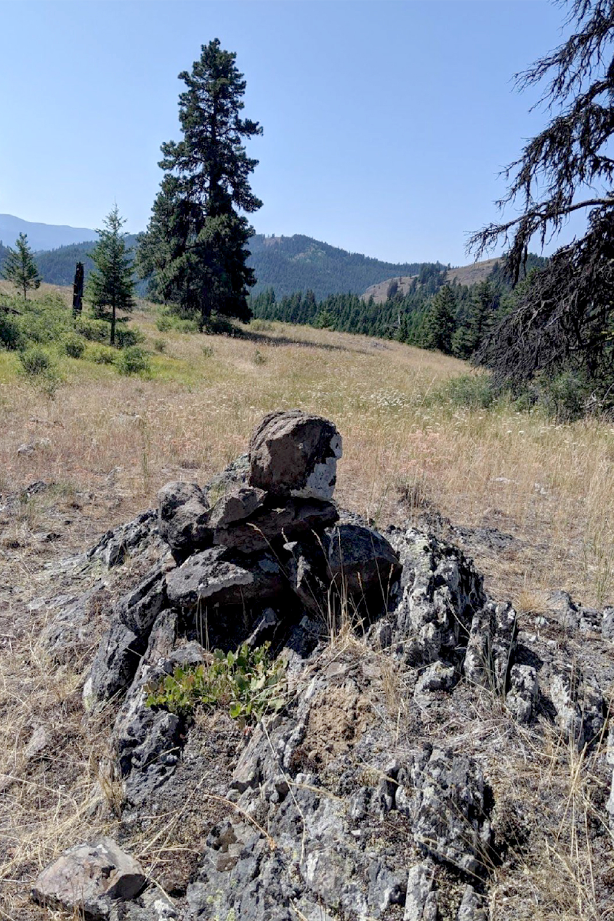
Rock cairns, in addition to orange blazes and wooden trail signs, mark the route.

Sandy Vaughn enjoys the view at the top.