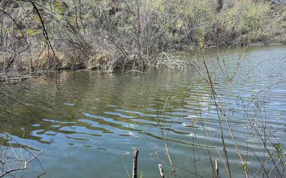
TONASKET – Warm weather that is speeding up the annual mountain snow melt-off has brought about a flood watch for the Okanogan River, especially in the areas between Tonasket and Oroville.
With temperatures reaching nearly 90 degrees in the Okanogan River valley, water levels are expected to rise through the weekend despite little chance of rain.
The National Weather Service issued a flood watch, last updated Tuesday morning, to begin Wednesday evening “until further notice,” according to the NWS website.
Water levels as of Tuesday morning were at 12.4 feet. Flood stage is listed at 15 feet, which could be reached by Wednesday evening.
The NWS projects levels to reach about 17 feet by Saturday, which would cause flooding on low-lying fields and pasture in the flood plain.
If water levels reach 18 feet, major flooding of surrounding cropland is likely, with the threat of low-lying buildings and basements experiencing flooding as well.
Water levels barely reached flood stage in 2012, at 15.02 feet. Major floods in 1848 and 1972 saw water levels at about 22 feet, as well as about 18.5 feet in 1950 and 1974.
Alerts on water levels can be found online and forwarded to one’s email or cell phone by registering online at water.usgs.gov/wateralert/.