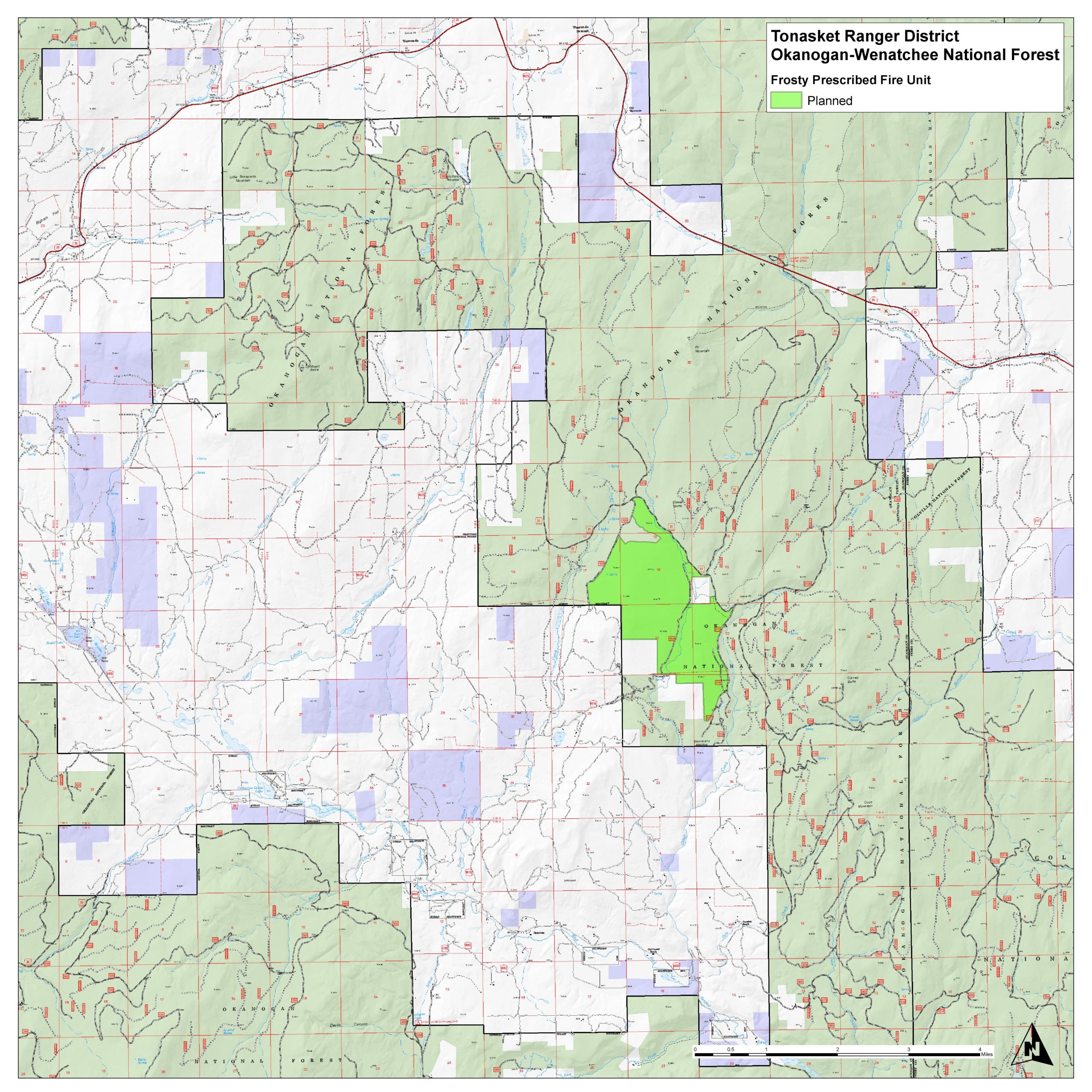
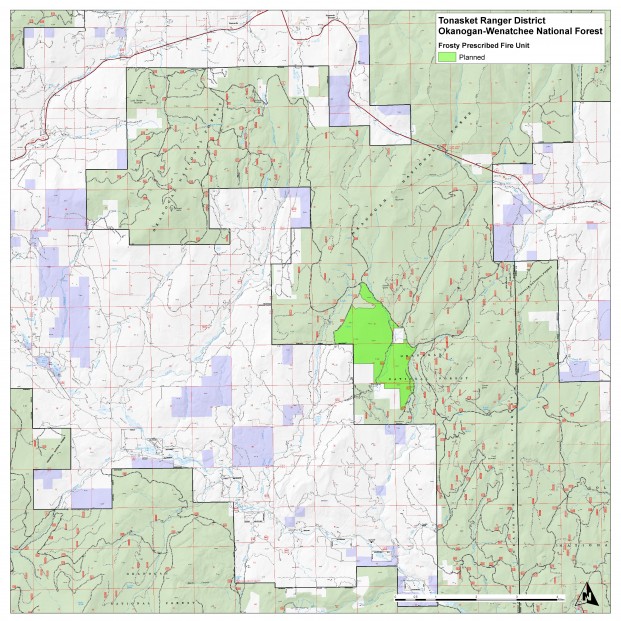
Frosty Creek Prescribed Burn Area
After attempting a couple of test fires, fuels specialists found that conditions were not within prescription and had to cancel the burn for today. The weather forecast for the near-term isn’t conducive to trying again right away.Original Press Release Follows:
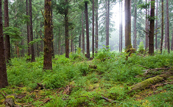
TONASKET – Tonasket Ranger District is working to implement an underburn on up to 1800 acres in the Wildland Urban Interface north of Aeneas Valley today.
Transport winds are expected to carry smoke to the northeast but there is a chance some smoke could settle in the Republic area overnight. The attached map shows the underburn area. It is approximately 20 miles east of Tonasket. The work will occur in Township 36N, Range 31E, Sections 9, 16, 17, 21, 22 & 27.
We added staffing to work on the burn. Baker River Hot Shots, Redmond Hotshots and firefighters from the Republic Ranger District, Methow Valley and elsewhere in Washington are here to help.
In addition to the benefits/objectives listed below, we’d like to be sure folks understand that a treatment similar to what we’re doing with Frosty Underburn was instrumental in controlling the spread of the North Flank Fire in 2015 and keeping it from Aeneas Valley.
Additional Information about the Frosty Underburn:
Background
In 2007, the Okanogan-Wenatchee National Forest signed a decision notice for the Frosty Fuels Reduction Project. The project was designed, in part, to reduce hazardous fuels in the wildland-urban interface (WUI) and included nearly 13,000 acres of fuel reduction such as thinning and prescribed burning north of Aeneas Valley (about 20 miles east of Tonasket, Washington.
The spring 2017 Frosty Underburn will implement about 1,800 acres of the prescribed burning treatment in the area between Cobey Creek and Frosty Creek.
Frosty Prescribed Fire Objectives:
Underburning will re-introduce fire into a fire adapted landscape and will reduce hazardous fuels in the wildland urban interface by:
- Reducing the amount and continuity of ground vegetation
- Reducing debris left after thinning
- Raising the height of the lowest branches on trees in the project area so that they no longer serve as a ladder for carrying fire to treetops.
- Prepare the site for regeneration
- Reduce shrubs and trees that are less fire-resilient
Prescriptions for Frosty Underburn
Thinning phases within the 2017 Frosty Underburn project area have been completed. The next step is to apply fire to the landscape during a time that weather conditions and vegetation moisture will be conducive to an average flame height of about four feet and when consumption of ground vegetation and debris will be within desired parameters.
- Prescribed burn treatments are designed for adequate consumption of needles and vegetation litter on the forest floor. The treatments will lead to mineral soil exposure, to recycle nutrients to the soil and aide in natural tree regeneration
- The prescribed burns will be implemented in ways designed to retain larger trees on the landscape
- For wildlife habitat, firefighters will retain as many dead trees (or snags) as possible without compromising safety and will limit charring of downed logs.
For questions about the prescribed burn, call us at 509-486-5128.